- Author Nora Macey macey@family-relation.com.
- Public 2023-12-16 10:17.
- Last modified 2025-01-23 08:48.
If your city is small, and its map cannot be bought in the store, then you can easily draw a plan of the city yourself. To do this, you do not need any special knowledge, but you will need to install the simplest software on your computer.

Necessary
- - computer;
- - special software.
Instructions
Step 1
On the Internet you can find for free or download for little money the simplest vectorization programs such as OziExplorer, GPSMapEdit, Easy Trace. If your intentions are serious enough, then you can purchase a special gis program, but for the simplest scheme you will need a graphic editor that allows you to work with different layers of the image, for example, Photoshop.
Step 2
Your next task is to find a picture on which you can draw a city plan. It can be a large-scale topographic map or several sheets of topographic schemes that cover the territory of this settlement. This material, of course, is difficult to find and, moreover, it will not be relevant enough, since such schemes were created quite a long time ago and have not been updated for 20 years. Such a scheme no longer reflects the reality.
Step 3
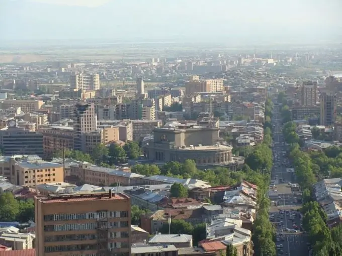
So, use the mapping services Google or Yandex and find satellite images of your city on them. These images are updated quite often and their relevance is high. Of course, the better the quality of such a raster layout, the more accurate your plan will be, so the images should be as large as possible and with a good resolution. If the entire territory of the city does not fit on the monitor screen, the simplest way is to "stitch" the overall picture from several print screens of the screen. This can be done in the same Photoshop.
Step 4
Having received a reliable and relevant photographic image of the city, think about what you want to display on your plan - what information layers. For a standard address plan, you just need to digitize in a vector a layer of buildings and structures, pavements, roads, vegetation, and hydrography.
Step 5
It is possible that neither in Google nor in Yandex you will find information about street names and house numbers. In this case, you will have to walk along the streets of the city and put down the house numbers on the map at least for the corner buildings in the blocks. Then sign the street names and numbering on your vector plan and use it.


